3D Scanning & Photogrammetry

Digital 3D models are used for many different purposes in a variety of industries, and there are multiple methods of making them from a real object or place. The two primary methods for digital 3D modeling are 3D scanning and photogrammetry.

3D Laser Scanning

Laser Scanning is a highly effective method of rapidly capturing as-built information in rich detail. The resulting point cloud is a very precise digital record of an object or space from which accurate measurements can be taken and documentation such as 3D CAD models created. 3D Laser Scanning has shown itself to be quicker, safer and more accurate than other measurement techniques.

We use the latest 3D laser scanners to capture precision 3D measurements of your facility / work environment regardless of scale.
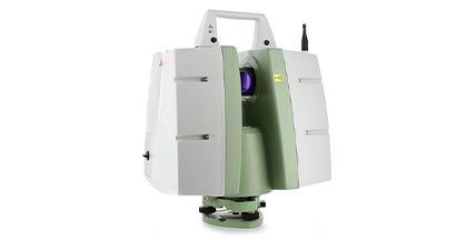
Leica ScanStation C10
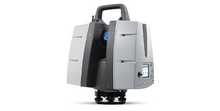
3D Laser Scanner

Leica ScanStation P30

3D Laser Scanner

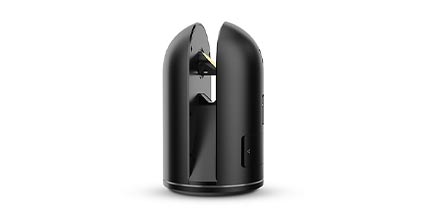
Leica BLK360 Imaging

3D Laser Scanner

Our Goal

We specialize in providing accurate 3D laser scans and delivering 3D models to engineers, architects and facilities managers. By continually upgrading our advanced 3D technologies, software and training, we provide our clients with the highest level of precision in the shortest possible time.

Photogrammetry

Photogrammetry is the science of taking measurements from photographs. A real-world object or scene is surveyed with a camera, and the resulting photographs are used to take a measurement, reverse engineer, or create an as-built drawing, as-built plan or a 3D model.

Photogrammetry is a highly adaptable technique for documenting the as-built status of a facility including 3D visualisation, and as-built plans and drawings, or for the generation of flattened GIS-referenced or dimensionally accurate orthoimages for building or land surveys.
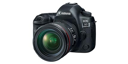
Canon EOS 5D Mark IV

Professional DSLR Camera
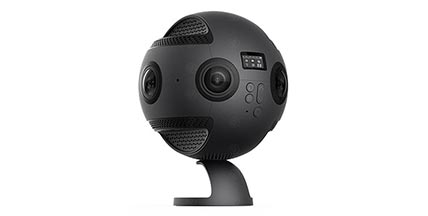
Insta360 Pro

Professional 360 Camera
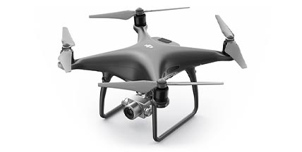
DJI Phantom 4 Pro

Drone with Professional Camera

Output Formats

Point Cloud

A point cloud is a set of data points in space. Point clouds are generally produced by 3D scanners or by using photogrammetry, which measures many points on the external surfaces of objects around them. As the output of 3D scanning processes, point clouds are used for many purposes, including to create 3D CAD models for manufactured parts, for metrology and quality inspection, and for a multitude of visualization, animation, rendering and mass customization applications.

3D Mesh Model

In order to obtain a 3D mashing of a point cloud, neighbouring points are connected and a polygon mesh appears (network consisting of three of four sides). The geometric surfaces obtained are referred to as polygons or faces. Using this process, point clouds created previously by means of UAV flights can be used for volume calculation and quantity surveying. The colour-free network of polygons also forms the basis for textured surface models (3D mesh models) for visualisation.


As-Built CAD Model

Accurate as-built information is vital to the success of any maintenance, upgrade or archiving a project. Our experience is key in the production of detailed, complete 3D models. Produced for a diverse range of installations and industries, regardless of complexity, our as-built models are created from any data source including laser scan data, photogrammetric survey, 2D data, line lists, and so on. These as-built models can be transferred into all the leading CAD systems.

DSM, DTM & Orthophoto

A digital surface model (DSM) refers to a realistic depiction of actual conditions including the surface, vegetation, buildings & other objects. The depiction of terrain in the form of a digital terrain model (DTM) is chosen if the elevation structure is of key importance neglecting the unnecessary elements such as vegetation and buildings. An orthophoto is an aerial photograph or satellite imagery geometrically corrected (“orthorectified”) such that the scale is uniform following a given map projection.

Impressed?

Let's Get Started Now!